Bruny Island – day 1 (part 1)
We usually have at least one camping trip in January. This year we decided to go to Bruny Island, which is a place that apparently everyone in Tasmania, except for us, has been to at least once.
Whenever I’d I say I’d never been there, people would look at me in amazement, as if this was the gravest oversight a Tasmanian could ever make.
It was time to rectify this.
Obviously, because it’s an island, you get there by boat. The boat is a car ferry called the Mirambeena, which travels approximately hourly between Kettering on the Tasmanian mainland, and Roberts Point on Bruny. It takes between 50 and 70 vehicles, depending on the size of the vehicles, and you just turn up, pay your fare and wait.
How long you have to wait depends on how many other cars are ahead of you. Apparently in high peak times like Christmas and Easter, the queue can get very long and you can wait for a long time. We were advised to take books and activities to keep ourselves entertained, possibly for an extended period.
After a scenic drive down the Channel Highway (which is a really nice drive), we arrived at the ferry terminal at about 10.30. The attendant told us we probably wouldn’t make the 11.05 ferry, which was correct, so we went into the coffee shop for morning tea, had a look at some boats and went back to sit in the car to read our books.

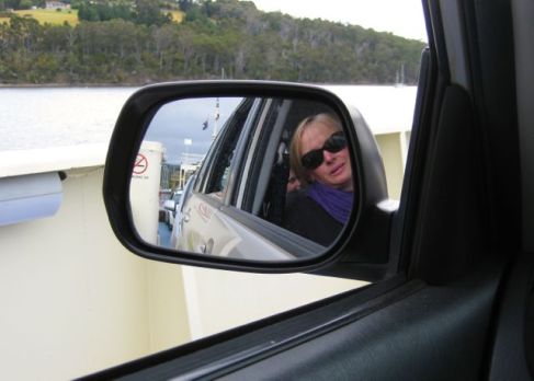
 The ferry trip was very smooth and, despite Juniordwarf’s concern that we might get motion sickness (vomit is a big obsession with him right now), everyone was fine.
 The crossing takes about 15-20 minutes, and then you just drive off the ferry and go where the road takes you.
 The official tourist brochure says:
“Please don’t try and see all of Bruny in a day or two – you’d be surprised how many people don’t realise that Bruny Island is nearly 100 km long! From the tip of Dennes Point in the north to Cape Bruny Lighthouse in the south, the landscapes change dramatically – sheltered sandy beaches and farmlands in the north, tall forests, open bays and wild coastlines in the south”.
This is a great description of the island, and we decided to head north first, to Dennes Point. It’s a beautiful drive and you can see the Iron Pot Lighthouse from the road. We’ve also seen it from the other side, from South Arm.
The main reason we went to Dennes Point was to have a look at Art at the Point, an art gallery featuring local Bruny artists. This includes jewellery, textiles, ceramics and prints.
It was a lovely way to start our adventure, although it was slightly marred by a cranky Juniordwarf, who wasn’t too keen on being asked not to pull open every drawer in the place and had to be removed.
We then made our way to a nearby beach, which I think is called Nebraska Beach, so that Juniordwarf could have a paddle in the sea.
 He made a new friend in the water. The beach was calm, which, according to the little girl’s mother, was unusual for the area. She said it was usually very windy, so we were lucky to have nice weather while we were there.
The journey to the south of the island was next, and on the way we found out where the Get Shucked Oyster Farm and Bruny Island Cheese Company were, because they were high on our to-do list for the weekend.
After stopping for lunch at a beach near Alonnah, we drove to Adventure Bay to set up our camp site.


